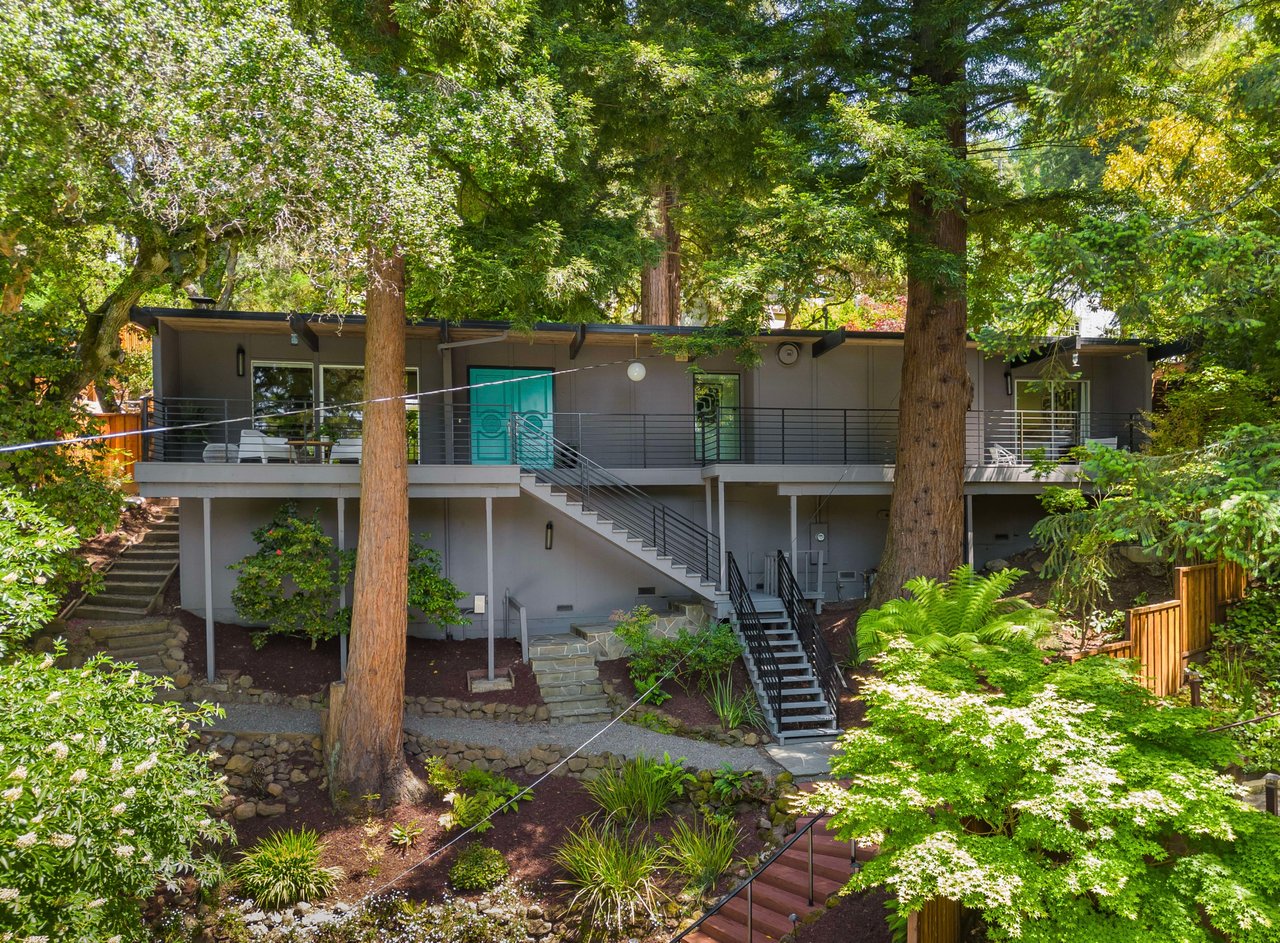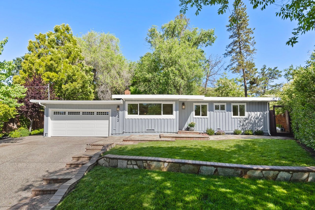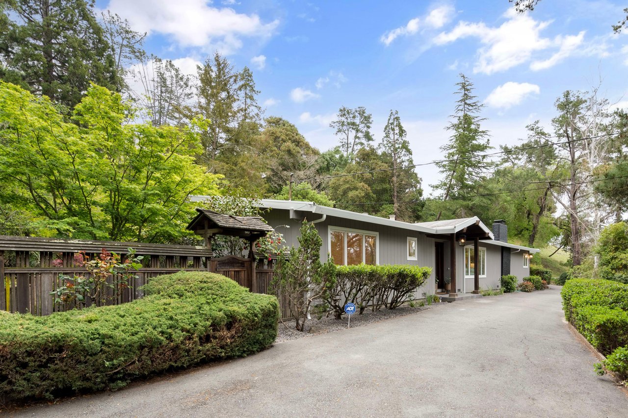
The signage at the Alhambra Creek Staging Area got an update this week. If you park there for your usual loop into Briones, you'll notice new language about which days belong to bikes and which belong to horses, plus a caution flag at one intersection where the fire road has cracked enough to warrant cones on both ends. None of it closes the park. All of it is worth reading before you clip on a leash or clip in a pedal, because the rules just shifted again, and the shift says something about this neighborhood that the real estate copy never quite gets right.
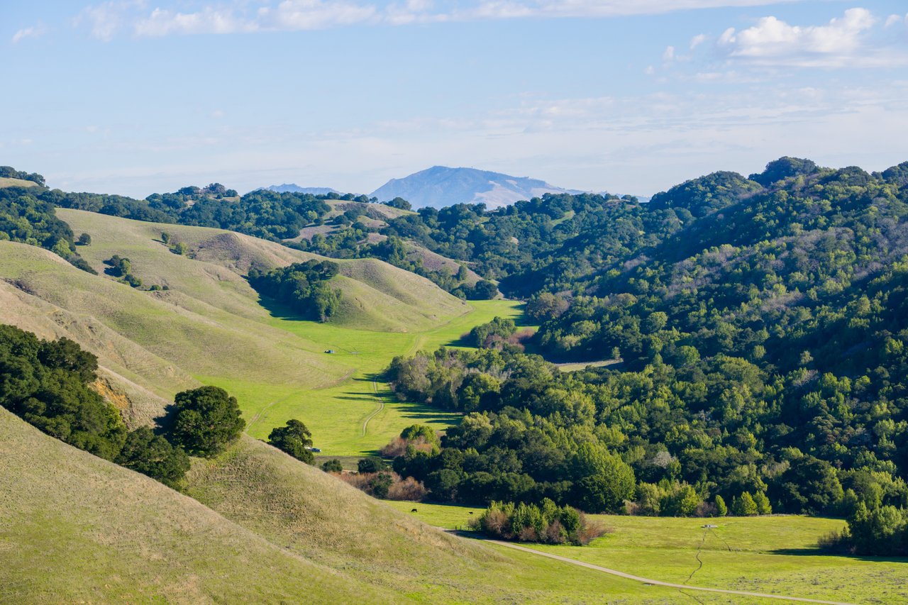
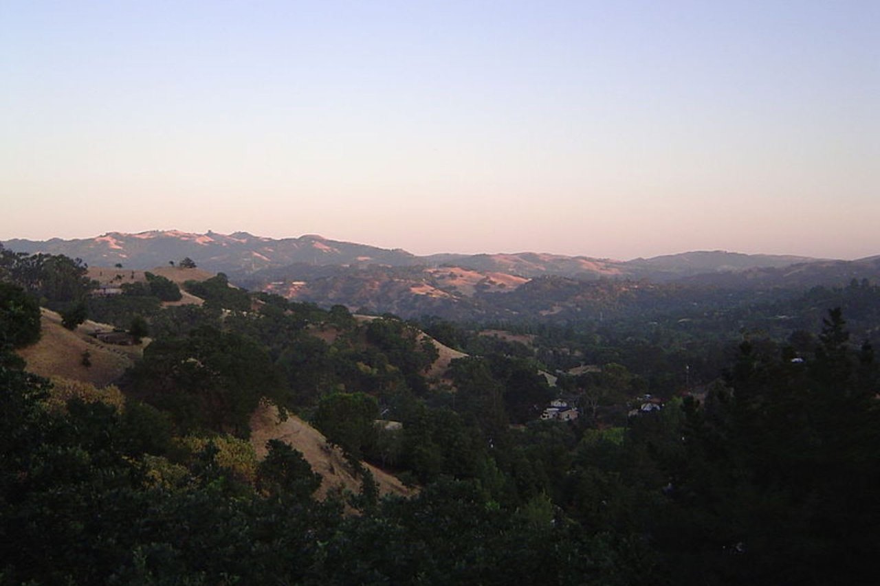
Reliez Valley gets described as rural the way a lot of places get described as rural: horse pastures, a few vineyards, wide-open feel. That's true as far as it goes. What it leaves out is that the ranching and farming aren't preserved for ambiance. They're active operations with schedules, leases, and enforcement, and this month gave residents three separate reminders of that all at once: cattle back on named trail segments, a working vineyard mid-harvest a short drive from Reliez Valley Road, and a park district update that only makes sense if you understand the land as a business, not a backdrop.
The Cows Aren't Wildlife, They're a Lease
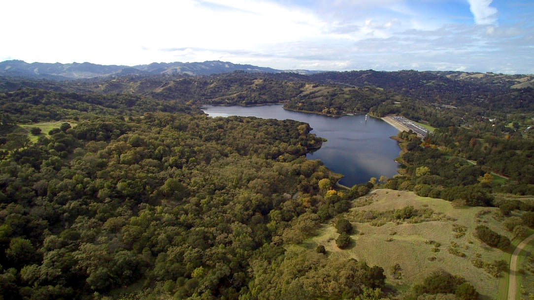
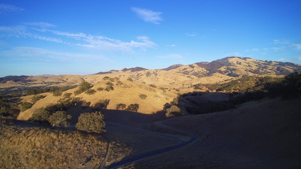
Briones Regional Park's own alerts page, updated August 29, lists exactly which trails currently have livestock on them and what kind. Cows and calves are grazing the Tabletop, Spengler, Blue Oak, Buckeye, Sunrise, and Lafayette Ridge trail areas. Yearling cattle are on Deer Creek, Pereira, Valley, and Briones Crest. That's not a rough estimate. It's a working list the district maintains because a grazing lease is an active contract, and contracts have boundaries.
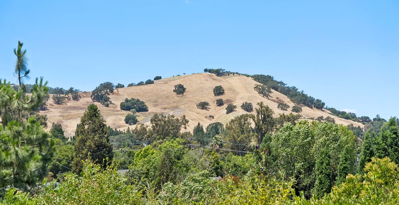
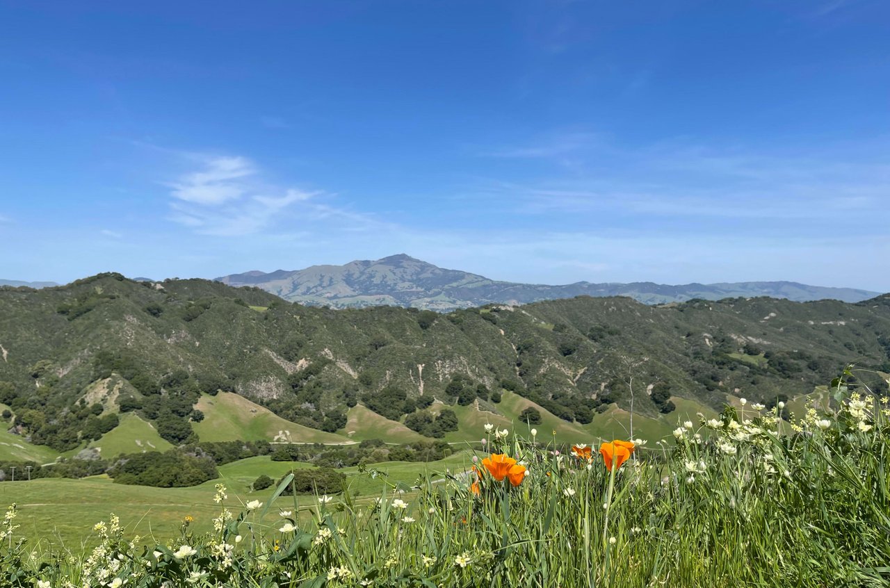
The practical version: if your dog-walking route touches Blue Oak Trail, which climbs out of Reliez Valley toward Briones Peak, you are sharing that trail with animals under a management agreement, not animals that wandered in. The same goes for anyone riding Lafayette Ridge for the Mount Diablo views. This is why the East Bay Regional Park District posts a phone line specifically for grazing animal concerns rather than folding it into general trail complaints. Grazing here is infrastructure. It manages fuel load on hillsides that would otherwise carry more grass into fire season, and it does that job on a schedule set by the district and the ranching tenant, not by the calendar most residents use to plan a hike.
| Trail area | Livestock type | What it means for trail users |
|---|---|---|
| Tabletop, Spengler, Blue Oak, Buckeye, Sunrise, Lafayette Ridge | Cows and calves | Give wide berth, expect slower pace near herds |
| Deer Creek, Pereira, Valley, Briones Crest | Yearling cattle | More mobile, may cross trail unexpectedly |
If you've lived here long enough to remember a year when the herd wasn't on your usual route, that's not memory playing tricks. Grazing leases rotate. The rotation is one more piece of evidence that the land is still being worked, not just zoned to look worked.
A Hillside That's Been in Production for a Century
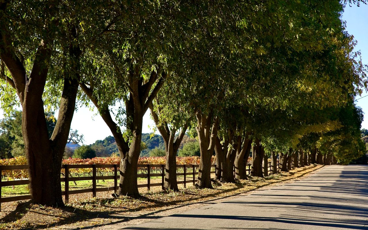
A ten-minute drive from that same staging area sits Reliez Valley Vineyards, farmed by the Rey family on the same southwest-facing slope where the Rossi family first planted wine grapes more than a hundred years ago. The site's sandy, marine-fossil soil and cool evening air are the kind of detail winemakers mention because they matter agronomically, not because they sound pretty. The Rey family has kept the vineyard in sustainable production for generations, which in Reliez Valley terms means the hillside behind someone's property line has been continuously farmed since before most of the surrounding homes were built.
They're not alone. Deer Hill Vineyards and Castillo Vineyards both operate nearby, small enough in scale that neither one reads as a tourist destination, which is precisely the point. These are working plots, some no larger than half an acre, run by families who grow the fruit and often make the wine on site. Late August into September is harvest window for most of them, which means the smell of crush and the sound of small equipment moving between rows is a seasonal feature of this part of Lafayette the same way fog is a seasonal feature of the coast. It isn't scenery. It's a harvest, on a timeline dictated by sugar content and weather, not by anyone's marketing calendar.
That combination, working vineyard and working grazing land inside the same few square miles, is unusual this close to a BART line and a downtown commercial strip. Most of Lafayette's other neighborhoods traded agricultural use for residential density decades ago. Reliez Valley kept both running in parallel.
The Rule That Changed on August 29
The park district update isn't only about cattle. It also confirms the current state of the Briones Special Management Area, the 1,600-acre zone in the park's northeast corner that alternates trail access between mountain bikes and equestrians on weekends, based on whether the date is odd or even. That system isn't new. It came out of a 20-month pilot that ran from April 2023 to December 2024, and the park district board made the rules permanent afterward, adding another 5.75 miles of trail to the formal designation in the process.
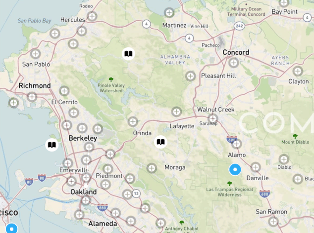
What matters for anyone living on the Reliez Valley side is access. The Special Management Area can be reached from the Alhambra Creek staging area, the Old Briones Road staging area, the park office entrance near Pine Tree Trail, and a staging point on Reliez Valley Road itself. That's four separate ways in, and the one closest to most Reliez Valley homes is the same staging area currently posting the caution signage about the cracked fire road at the Briones Crest and Lagoon Trail junction. The park district says that intersection is damaged but passable with care, cones on both ends, no closure.
None of this is dramatic. It's the opposite of dramatic, which is exactly why it matters. A neighborhood where the biggest news of the week is an odd-even trail schedule and a cracked fire road is a neighborhood where the land use is still functional enough to need active management. You don't post grazing schedules and equestrian access days for land that's purely decorative.
What the Signs Add Up To
Put the three pieces together and the picture that emerges isn't the generic one. It's not just quiet streets and big lots. It's a working landscape where a grazing lease determines which trail has cattle on it this month, a vineyard planted before most of the neighborhood's houses existed is bringing in a harvest right now, and a regional park board is still actively adjusting access rules on land that borders Reliez Valley Road directly. The rural character isn't inherited from history and left alone. It's maintained, contract by contract, season by season.
For residents, that's mostly a reason to check the park district's alerts before a weekend ride and to expect the vineyards to be busiest through September. For anyone weighing what makes this particular pocket of Lafayette different from Burton Valley or Happy Valley, it's the difference between a neighborhood that preserved a rural look and one that kept a rural economy, however small, still running underneath it.
If you're thinking about what a home here actually sits next to, not just what the listing photos show, that's the kind of local detail worth understanding before you make a decision either way. The Paddy Kehoe Team spends a lot of time in these hills, and we're always glad to talk through what a specific property's proximity to a working vineyard or an active grazing lease means in practice. Schedule a free Home Strategy Session when you're ready to look closer.