"This 'Shepherd Canyon Freeway,' or Highway 77, would exit a tunnel from Oakland, bisect Moraga Valley and Burton Valley, passing just feet from this spot, to connect drivers to Highway 24."
That sentence is on Stop 4 of the new Lafayette–Moraga History Trail, and "this spot" is the Lafayette Community Center at 500 St. Mary's Road. For anyone who lives on Florence Drive, Betty Lane, Helen Lane, Mildred, Fredericka or North and South Lucille, the streets the City groups as Lafayette Valley Estates, that puts a four-lane freeway a short walk from the front door. The freeway was never built. The land the state bought for it became the playing fields, playgrounds and hillside trails people around Florence Drive now treat as their backyard.
The photo on the Stop 4 panel
The archival image chosen for Stop 4 shows a Sacramento Northern train crossing St. Mary's Road near today's Florence Drive and the Community Center. The corridor started as a mule-train route that carried freshly milled redwood lumber in the 1800s. In 1913 it became an electric railway, part of the 183-mile Sacramento Northern system, which ranked among the longest interurban routes in North America.
For a while it worked as a real commuter line. By 1939, riders could board the daily Comet and Meteor trains at Glenside Drive and ride straight into San Francisco on the lower deck of the new Bay Bridge. The trains reached 60 mph and offered dining and parlor cars. Then the Bay Bridge in 1936, the Caldecott Tunnel in 1937 and better roads drew riders into cars. Passenger service ended in 1941, and freight followed in 1957.
The rails came out, but the corridor was still there. In the 1950s, state highway planners wanted to put cars on that same line.
A freeway drawn along the rail line
The Moraga Historical Society has reconstructed the 1953 plan in detail. A four-lane freeway would come out of a tunnel near the hairpin where Pinehurst Road climbs the Oakland Hills. It would climb a 6% grade over Indian Valley Ridge, pass the south side of Miramonte High School and meet Moraga Way near Ivy Drive at a large cloverleaf. From there it would cut through the pear grove that is now Moraga Commons and then follow the Lafayette–Moraga Trail through Burton Valley to the Pleasant Hill interchange on Highway 24. Planners designed it to grow to six lanes and assumed Moraga would reach 50,000 people. The plan came from Contra Costa County and the California Highway Commission, the agency now known as Caltrans.
For the first several years, the argument was over where to put the road. Whether to build it at all came later. The Commission chose a north Moraga alignment, the "Red Route," because it was the shortest and cheapest of four options. In 1956, Utah Construction and the Orinda-Moraga Homeowners Association published a 12-page booklet called "The RED ROUTE is the WRONG ROUTE." It argued for a route through Redwood Canyon instead. Gladys Shally, a founder of the Moraga Historical Society, opposed the Redwood Canyon option because she believed it would destroy the redwood grove. Donald Rheem, the Moraga Community Club and the Canyon Community Club supported the Red Route.
The project stalled in study after study and picked up the name "never never freeway." MHS board member Colleen Lund remembers her husband Bill going to late-night community meetings through the 1960s after the children were in bed. On the Lafayette side, the Lafayette Historical Society has a record of residents demonstrating with "No to Highway 77" signs.
How the plan died, year by year
- 1953: Highway 77 is proposed through Shepherd Canyon, Moraga and Burton Valley.
- 1956: The Red Route fight begins, and the opposing booklet comes out.
- 1957: The Bay Area Rapid Transit plan is proposed, and freight trains stop running on the corridor.
- 1964: BART construction begins.
- 1972: BART service begins. The same year, the State Assembly votes 56–0 to remove Highway 77 from the state highway plan.
- November 1974: Moraga incorporates as a town.
- March 1975: The state publishes a Notice of Intent to rescind the adoption of Highways 77 and 93.
- July 1975: The rescission becomes official, eight months after Moraga incorporated.
- July 4, 1976: The Lafayette–Moraga Regional Trail is dedicated.
The Stop 4 panel compresses this sequence: decades of community opposition plus the start of BART service led the Assembly to drop the project in 1972, and Caltrans ended it for good in 1975.
What Caltrans left behind on St. Mary's Road
The City of Lafayette's own history of Community Park picks up the story here. In the 1950s, Caltrans bought the land for a freeway between Oakland and Pleasant Hill. After the plan was dropped, the City bought 68 acres of that Caltrans property in 1983, along with the 8-acre Burton School site, and those parcels became the Lafayette Community Center and Lafayette Community Park.
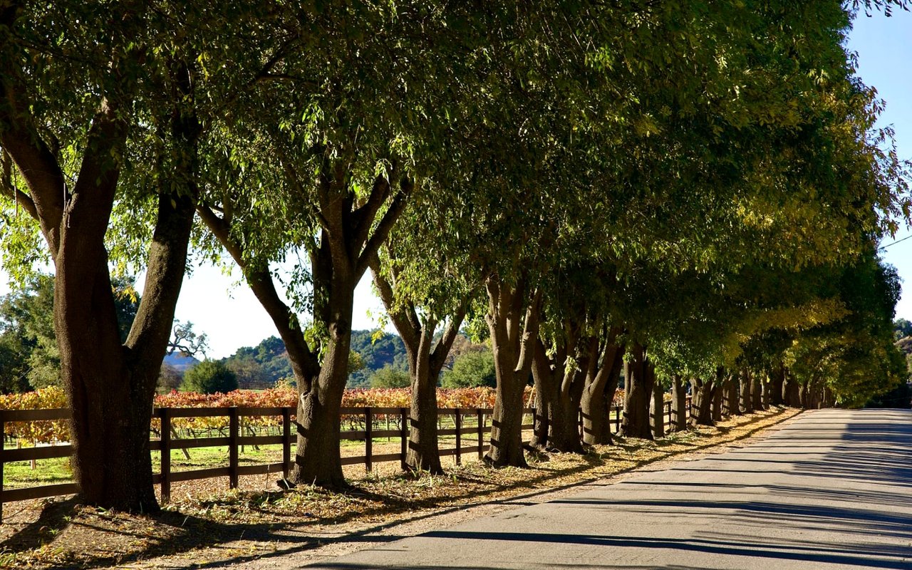
So the land meant for a highway now holds two grass fields used for baseball, softball, soccer and lacrosse, plus two batting cages, a playground split for younger and older children, a group picnic area with barbecues, pétanque courts and nearly 3 miles of multi-use trails. Las Trampas Creek winds along the park's western edge, and Grizzly Creek runs along the north. Remnants of the old walnut and pear orchards are still on the hillsides, along with oak woodland, open grassland and two eucalyptus groves. The park's trails are open from dawn to dusk.
The two pieces of land have different histories. The paved regional trail follows the old Sacramento Northern rail corridor, which became a utility easement after the trains stopped. The 68 acres of park and Community Center ground are the land Caltrans bought for the freeway. The trail and the park sit side by side because the rail line and the freeway plan were drawn along the same valley.
How the trail came to be
Once the freeway threat was gone, the corridor went to the people who had been asking for a safe place to ride. According to the East Bay Regional Park District, the trail started with bicycle-safety advocacy by Avon Wilson and Lynn Hiden, who wanted a safe route to school for young people. Lafayette, Moraga and EBRPD then formed a nine-member Trails Advisory Committee to convert the abandoned railroad corridor. The Lafayette Historical Society calls Wilson and Hiden the "Bike Ladies" and also credits Don Goode and Jerry Kent with the conversion. When Lamorinda Weekly covered the 45th anniversary in 2021, Hiden credited Barbara Grigg with an earlier version of the idea.
Sources give two dates for the start. The new history-trail website says local communities partnered with EBRPD in 1974. EBRPD puts the dedication on July 4, 1976, which makes this fall the 50th anniversary. EBRPD lists the trail's current length as 7.65 miles.
Who put the story on signs
The nine panels come from research by Lafayette resident Shane Reisman, with support from the Lafayette and Moraga historical societies and funding from the Moraga Community Foundation and the Community Foundation of Lafayette. In the Moraga Historical Society's spring newsletter, the society's president describes two years of work with John Kaiser, Susan Skilton, EBRPD and Reisman on the panels, which run from the Olympic staging area to Valle Vista.
Two stops are close to Lafayette Valley Estates:
- Stop 4, Lafayette Community Center: "Changing Transportation," the Highway 77 story above.
- Stop 5, Rheem Boulevard and St. Mary's Road: "Prehistoric Life," about the valley's geology and fossil finds.
The full sequence runs from Reliez Station Road, Topper Lane and Glenside Drive in Lafayette through Saint Mary's College, Moraga Commons and Moraga Country Club to Valle Vista. There is also an older panel nearby that the new project points to. It covers how the Bay Miwok have lived with this land, and it stands in the Community Center's native plant garden and parking lot, next to the children's play area.
Saturday, October 10, at the Jennifer Russell Building
The public launch is Saturday, October 10, from 9 to 11 a.m. in the Jennifer Russell Building at 500 St. Mary's Road. A presentation starts at 10 a.m., and light refreshments will be served. The project's website calls it a ribbon cutting and public launch. The City's October 2 Weekly Roundup calls it a chance to see the panels "before they are installed," so don't expect every sign to be up along the trail that morning. The Moraga Historical Society had targeted June 30 for installation, and the City's October notices show that date was missed.
The Lafayette–Moraga History Trail website already has all nine stops online, with archival photos from the Western Railway Museum Archives. That means you can stand at the Community Center, pull up the Stop 4 photo of the train crossing St. Mary's Road near Florence Drive, and compare it with the view today. For the long version of the freeway fight, the Moraga Historical Society's Shepherd Canyon Highway 77 article includes the 1953 route map and the 1956 booklet.
At the Paddy Kehoe Team, we pay attention to the history of the land around a house, including old easements, corridors and land that changed hands like the Caltrans parcels that became Community Park, because that history can come up in a sale. If you're in Lafayette Valley Estates and want to know how that history touches your property, schedule a free Home Strategy Session.